A stratospheric warming over Antarctica occurred during August.
This sudden rise in temperature above the icy continent leads to large tongues of cold air being squeezed northwards. Whether these warming events pass over New Zealand, Australia, South Africa, or Argentina can be a bit of a roll of the dice. The current phase of the Southern Annular Mode (SAM) will also have an impact on how severe the cold air affects the mid-latitudes around the Southern Hemisphere.
Early September has been notable for several cold snaps and some significant cold air spreading as far north as Auckland. Frosty conditions have been observed on the back of these cold snaps, but they have not been prolonged over several days. A more typical spring time westerly flow has meant that the atmosphere has not remained settled under high pressure but has rather reverted quickly to westerlies that bring the warm air back to New Zealand. As I write there are signs of a second stratospheric warming event that may lead to quite unsettled weather through October. The Southern Oscillation Index is pointed towards yet another La Niña for the summer of 2025-26. This could see a more settled start to summer but also brings the risk of increased humidity and rainfall.
Drifts
"It's as hopeless as a frost in spring" - Samwise Gangee (The Return of the King).
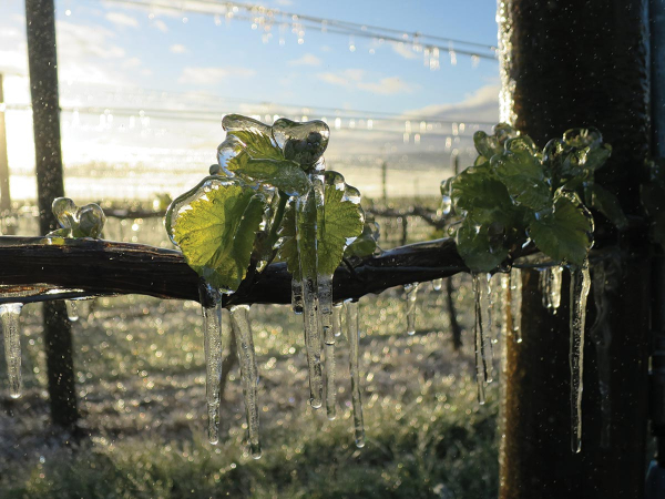
Samwise the gardener knew all about spring frost, but now there are many tools available to mitigate the effects of a frost during budburst or flowering. One frosty night is not necessarily the same as another, and is certainly not hopeless. However, it can be difficult to plan when frost events do not follow the usual pattern for drift or inversion. There are several reasons why drifts can be weaker or not develop, or why inversions vary from one night to the next.
Inversion and drift are often, but not always, quite closely linked. In areas supported by mountainous topography such as Central Otago or Marlborough, drifts develop on the higher hillsides and ridgelines. Some of these become quite large and fast moving, such as the Wairau Valley drift. Others are quite localised to adjacent gullies or small valleys. During cold nights when high pressure sits over New Zealand these drifts form in quite a regular way. As they move down towards wider plains of the coast they cause mixing and can help to lift temperatures or at least slow the rate of cooling.
A pattern emerges over a vineyard or a region of where the coldest areas are and where temperatures can remain milder. This is often observed in Marlborough, where parts of Rapaura Road can be 2-3C milder than the lower lying parts of Fairhall, just a couple of kilometres to the south. When there are strong airflows higher in the atmosphere, such as the cold southerly outbreaks of September 2019 and 2021, the upper level winds hinder the development of katabatic drainage about the ranges. The drifts that do develop are often weaker and the temperature patterns at a vineyard or regional level can be disrupted. Areas that usually observe milder temperatures become colder as the drifts that develop are weak or present from a different direction. A stratospheric warming event does increase the risk of cold southerly outbreaks that are accompanied by strong upper level winds, and those that take place in late winter or early spring should be watched closely, as local weather can be affected for several weeks. In spring 2025, the unsettled westerly pattern and cold southerly changes may continue well into October.
Outlook for October and November:
Gisborne/Hawke's Bay - Temperatures are expected to remain above average along the upper east coast of the North Island through late spring. There are still likely to be cold changes at times, but as the westerly flow begins to weaken in mid-October, high pressure will dominate at times. This may increase the frequency of consecutive cool nights and there will still be a risk of some light frost. With a La Niña likely to arrive by early summer, more frequent northeasterlies will develop and are likely to increase humidity. Rainfall totals are near or above average.
Wairarapa - Temperatures are likely to be above average, especially from mid-October onwards. The strong west to northwest winds that have been dominating in early spring should subside as high pressure systems become more dominant. There will still be a chance of rain events pushing rainfall above average, but these will be mixed with more settled periods of weather, and this will increase the risk of consecutive cold nights with some light frost still possible.
Nelson - Temperatures are likely to continue to run at or above average through the remainder of spring and into early summer. There remains an increased risk of rain-bearing systems as more humid northerly conditions increase. The risk of frost should reduce significantly from mid-October onwards.
Marlborough/North Canterbury - Temperatures remain near or above average. There remains an increased chance of above average rainfall for Marlborough. North Canterbury may remain near average, but sunshine hours continue to be near or below average. There will always be some risk of late spring frost, and there will be cool nights through late October and early November as the westerly flow weakens and high pressure becomes more dominant.
Central Otago - Temperatures are likely to remain near or above average through spring and into early summer. Sunshine should be higher and rainfall near or even below average through until mid-spring. This means that the diurnal range between minimum and maximum temperatures will continue to be greater than most other parts of the country. There will be some risk of spring frosts as more settled conditions increase, but as the colder southerly outbreaks reduce, so do the chances of severe frost affecting the region.
James Morrison runs Weatherstation Frost Forecasting: weatherstation.net.nz