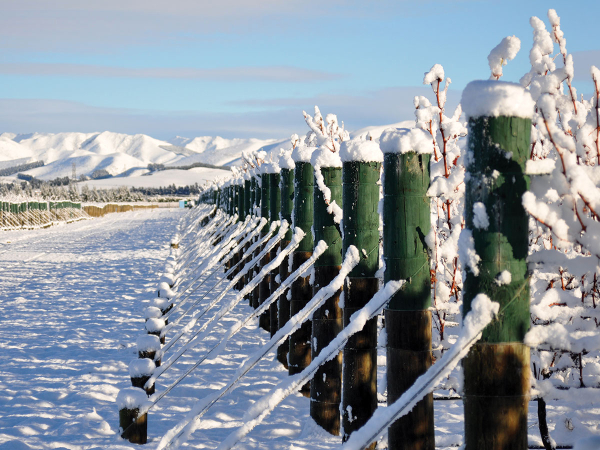
After record breaking cold for some regions at the start of 2025 (I'm looking at you Wairarapa), there has been a steady improvement in temperatures across the country through March, and then record-breaking warmth for many parts of New Zealand during April.
From highest ever daily maximum averages to warmest ever daytime minimums, as well as unusually mild overnight temperatures, April certainly delivered. There was also the presence of high humidity and plenty of rain for some, but this did occur mainly during the second half of the month and overlapped into May, when coastal parts of Canterbury recorded some of the highest 24- and 48-hour rainfall totals, with weather records going back well into the 19th century. A weak La Niña has now ended and it looks increasingly likely that a neutral Southern Oscillation Index (SOI) will remain for the remainder of the year. There will still be fluctuations within this and other climate drivers such as the Madden-Julian Oscillation can increase the chances of rain bearing systems from the tropics affecting New Zealand. The Southern Annular Mode may also have some influence and a positive SAM during early winter is likely to weaken the influence of our traditional westerlies. This increases the chance of rain and milder northerly winds, especially over the North Island and possibly the upper South Island.
A Short History of Weather Stations Across New Zealand:
Late autumn to early winter is generally a great time to get into all of the maintenance of the equipment we use to monitor our environment. Weather stations require cleaning, surrounding grass needs to be cut, as well as upgrades to electronics and a general examination off all of the sensors to ensure that they are collecting quality data. Since the mid-1990s there has been a marked increase in the move away from collecting weather data manually to the fully digital machine that we now employ to gather our daily readings. However, prior to the mid-1990s, and going back into the early 1800s, the job of reading and recording weather instruments was a human one. Mercury thermometers were used to measure current and maximum temperatures. A thermometer using alcohol was used for minimum temperatures because the mercury could become less viscous as the temperature fell, and if cold enough it could become a solid. Barographs measured air pressure and rain gauges were read and emptied at 9am, no matter what the weather.
Early Europeans to our shores brought weather instruments and many started keeping personal weather records. A more formalised system developed and by the 1860s there were weather stations keeping a track of our weather in several cities and towns. A search through historical climate data shows that there are at least a couple of those sites still active today, in Napier at Nelson Park and in Christchurch at the Botanical Gardens. The network of weather stations grew rapidly and were often maintained by workers at airports, hospitals, schools, forestry sites and research centres. Sometimes the original location of a weather station becomes unsuitable. In Hastings, the location of the weather station has moved at least four times, often because of nearby urban development. Many of these records can still be accessed online today through the national climate database held by NIWA. Although the majority of these sites are no longer operational, we now have access to high quality up-to-the-minute data, which is used to improve weather forecasting and monitor our changing climate. It also provides vital decision-making information for primary industries.
Outlook for June and July:
Gisborne/Hawke's Bay
Temperature is likely to run above average along the upper east coast of the North Island through early winter and quite likely for all of winter. There are still likely to be cold changes at times as we would expect, but so far, a stronger westerly influence has seen most approaching cold snaps run out of energy as they spread north. Rainfall totals are likely to be near average also as there may still be a tendency for low pressure systems to develop north of the North Island.
Wairarapa
Temperatures are likely to run above average across Wairarapa and there may be a reduction in northwesterlies. Milder and more humid north to northeast winds may occur at times although this may not necessarily increase rain totals, which may run close to average. Under a neutral SOI there is a weaker association with west to southwest conditions, but there may still be a few cold southerly outbreaks which will be dependent on high pressure development in the Tasman Sea.
Nelson
Temperatures are likely to continue to run above average through early winter. Rainfall totals may run near average but there may be periods of dry conditions. Frosts are likely on the back of any south/southwest changes that do spread north.
Marlborough/North Canterbury
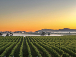
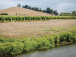
Temperatures remain above average. Rainfall totals are expected to run near average. We have seen some convergence that can produce heavy and intense rainfall over the upper South Island over the past six weeks and this may occur again as colder southerly changes run into warmer air pulled south out of the subtropics by low pressure systems north of the North Island.
Central Otago
Temperatures are likely to remain above average through early winter, but there will be periods of increased frostiness and settled conditions as high pressure builds on the back of any southerly changes. The deep south is less likely to be influenced by low pressure over the North Island so rainfall totals may run below average.
James Morrison runs Weatherstation Frost Forecasting: weatherstation.net.nz