Wine Weather: What's been going on?
An unsettled end to 2023 has given way to a milder and drier January for most regions.


 increase font size
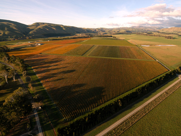 Craggy Range
Recently I have been studying inversion patterns during cold nights across parts of inland Australia.
The size of some of the inversions across an orchard or vineyard at just 15 metres was at times jaw dropping when compared to some of the more conservative inversions that are found in parts of New Zealand. It was not uncommon to see inversions of over 8C during cool, calm conditions, whereas in Marlborough, Hawke’s Bay and other regions, a good inversion may be anything over 2C. Parts of South Canterbury can see regular inversions of over 4C at times. The inversion is one of the critical parts of frost fighting during the growing season and a good inversion is a great asset when using frost fans or helicopters to mitigate the risk of frost.
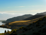
The mountains, hills and valleys of our islands create a complex environment for inversion development in New Zealand. Katabatic drifts form higher in valleys and hillsides as the air cools after sunset. This cold air, then being denser, sinks and drains down the hillsides into wider valleys and basins and eventually to the coast. Some of these drifts can be quite significant and reach speeds of over 20km/h. One such example is the drift that flows down the Wairau Valley in Marlborough. The movement of a large amount of air creates turbulence and as a result that air mixes with the surface and inversions become weaker. In areas such as the Canterbury Plain, inversions are stronger as the cool air from drifts emanating from the Southern Alps spreads out across the plains. The wind flow is lighter and there is less mixing and little turbulence above the surface. A detailed and accurate understanding of how the aforementioned factors affect inversion development over a vineyard can be achieved by frost mapping and analysis of daily weather. The investment put into studying land to understand inversion development and the overall risk of frost results in more efficient and effective use of frost protection during those long, cold, sleepless nights in spring.
La Niña Again?
No sooner did El Niño arrive in 2023 and we are already talking about its departure in early 2024. The transition from La Niña to El Niño during the final months of 2023 was quite slow and although the Southern Oscillation (SOI) and other indicators of the La Niña/El Niño cycle were telling us we were in El Niño, it did feel like the humidity and warm northerly flow of the La Niña pattern didn’t want to leave in a hurry. Autumn 2024 is likely to see a move back to a more neutral position of the SOI and there are growing murmurings of the return of La Niña by Spring.
Outlook for April and May:
Gisborne/Hawke's Bay
An increased westerly flow is likely to see drier conditions increase as we move through April and into May. The westerly flow may start to ease by late April. Mean temperatures are likely to remain above average, although the drier westerly flow means that cooler nights are likely through April and some areas may even see nighttime minimums running a little below average. This can also encourage development of fog or mist. Rainfall totals are likely to be near or a little below average. It has been a quiet tropical cyclone season so far, but there is always some risk to the upper North Island between February and May. Mean wind speeds are likely to decrease later through April and into May as the frequency of westerlies also decreases.
Wairarapa
Mean temperatures are likely to run close to average through early April with northwest winds present and likely to be stronger than average. These winds should become less frequent later in April and into May. Rainfall totals should run a little below average but there will be some rain produced by the stronger northwest events or colder southerly changes as we move closer to winter.
Nelson
Temperatures are likely to remain near or above average across the region. Inland areas may see cooler nights through April and early May as the stronger northwest flow eases. There is a chance of some moderate rain under the northwest flow but this may ease later in April. As conditions become more settled into May, cooler than average nights are possible inland.
Marlborough/North Canterbury
Northwest winds are likely to start easing through April, but conditions are likely to remain milder and with below average rainfall. The diurnal range may increase later in April with cooler than average nights about inland parts of Marlborough and North Canterbury. This is due to the northwesterlies becoming less frequent and an increase in high pressure over the upper South Island.
Central Otago
Mean temperatures should remain a little above average for April and into early May. The stronger northwest flow will continue to bring some rain and encourage milder temperatures but this eases as the northwesterlies retreat. Dry periods may increase from mid-April as high pressure replaces the northwest flow through into late autumn. The diurnal range between minimum and maximum temperature is likely to increase through April and into early May.
James Morrison runs Weatherstation Frost Forecasting: weatherstation.net.nz
An unsettled end to 2023 has given way to a milder and drier January for most regions.

El Niño is continuing to strengthen and is showing signs of being with us well into 2024.
After three years of La Niña, a change is finally upon us.
Shortly after writing my last story about the weather in Aotearoa, the nation was slammed by two massive rain events.
It has been a warm and often wet autumn across Aotearoa this year.


OPINION: Harvest begins, and almost immediately we start to get media enquiries about how the vintage is going and whether it…

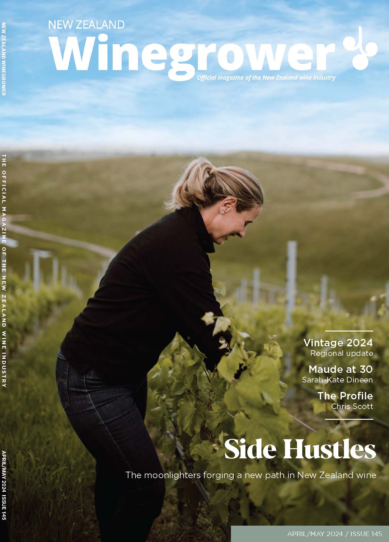
OPINION: Rachael Cook is the smiling grape grower on this month’s cover, tending vines on the miniscule, beautiful and dream-driven vineyard…
New Zealand wine enthusiasts have a deepening understanding and growing appreciation of sparkling wine, says Mel Skinner, Chair of Méthode Marlborough…
One of the biggest mistakes wine marketers make is in assuming consumers are as passionate and knowledgeable about wine as…
Taking two sustainability awards at two events on a single evening felt like "true recognition" of the work Lawson's Dry…