Unfortunately, the typical sub-$2,000 models of drones - freely available in the High Street - are unable to carry the latest sensing technology.
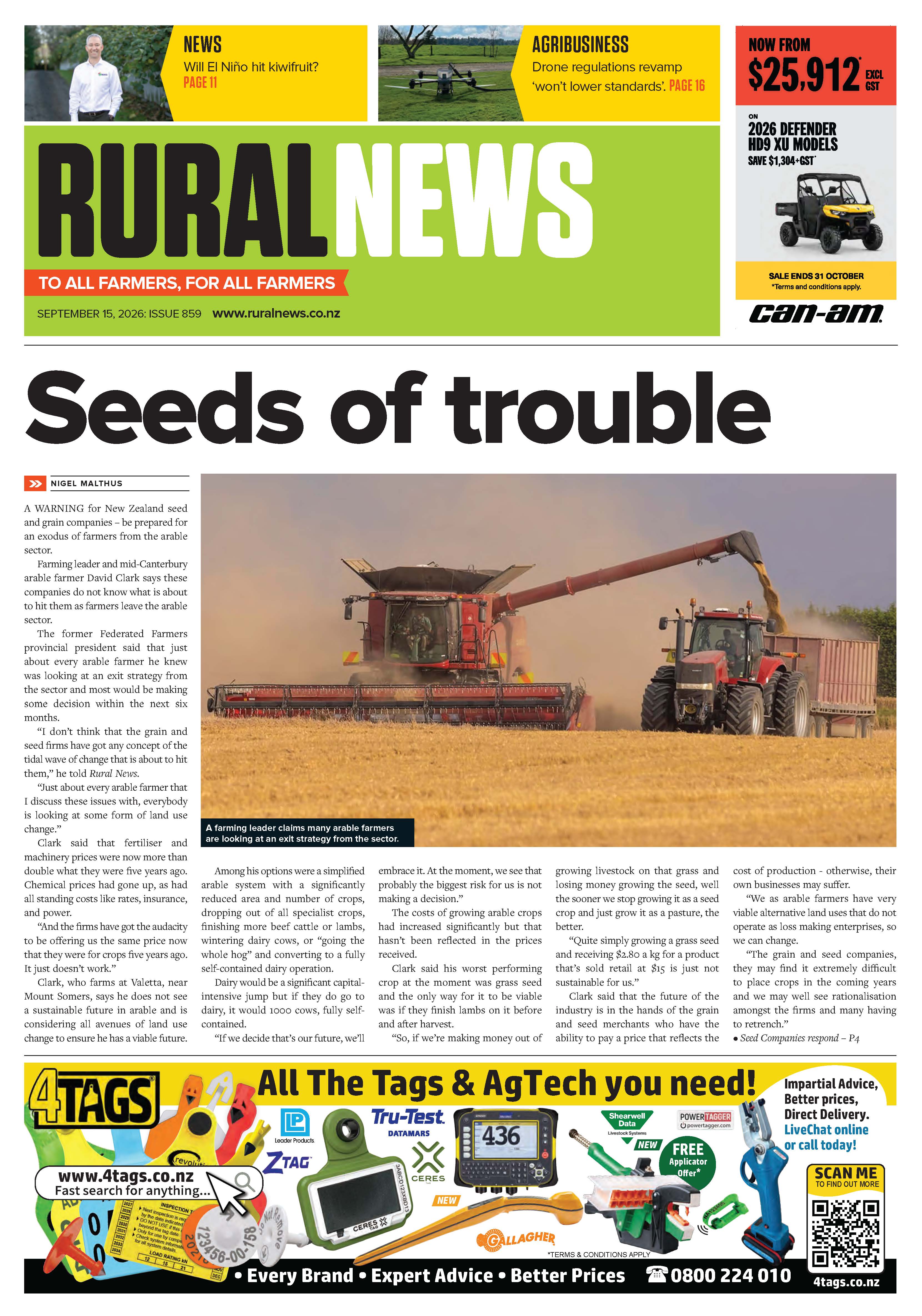
These machines also bring with them several problems that impose limitations on their use. Civil Aviation Authority (CAA) rules state that drones can only be flown within Line of Sight (LOS) - typically around 500 metres, depending on terrain. They can fly no higher than 400 feet and must not be flown within 4km of an airfield or airport. Additionally, they must not exceed a take-off weight of more than 25kg and must not be flown over people or properties without permission.
If a drone is being flown outside these parameters, the user must be a Certified Part 102 operator, a status that typically takes a year to achieve in New Zealand, while also requiring an extensive submission to the CAA that might run to 200+ pages. From that point, each flight will need to be approved on a flight by flight basis, with all machinery having been initially approved by CAA-certified inspectors.
This strict regulatory stance means that a typical farmer or landowner is unlikely to ever meet CAA 102 regulations, while CAA 101 authority is probably going to be of little use for larger properties.
In 2019, The Ministry of Business, Innovation and Employment (MBIE) set out to better understand the benefits of drone use to the NZ economy. In doing so, it calculated there was an $8 billion advantage, with agriculture being the main beneficiary. The main stumbling block to unlocking those potential benefits was the current rules and regulations - particularly the Line of Sight restrictions.
In May, MBIE announced that Waikato-based Aeronavics Limited, manufacturers and distributors of commercial drones, had become a partner in the Airspace Integration Trails Programme, to enable the delivery of controlled developmental test and evaluation of emerging advanced aviation technologies.
One of the main aims of the testing is to gather data to inform regulatory approval of Beyond Visual Line of Sight (BVLOS), which remains the key barrier to more widespread adoption.
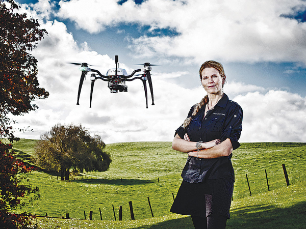
"The collaboration will enable a rapid advancement of the benefits drone technology can offer NZ," explains Linda Bulk, general manager at Aeronavics Ltd.
"We are currently working on technology to support agriculture, centred around time saving, soil and water management, while also realising that drone use can also remove the risks of sending people to remote or dangerous locations."
Scheduled for release in the next 12 months, Aeronavics' "agriculture solution" will see a drone that automatically captures data for a farmer, without any intervention by a worker at any time. Typically, the functions will include simple tasks like water trough inspections, looking for leaks, checking boundaries and gates, overseeing livestock, counting stock and carrying out security patrols.
On a more technical front, the drone will also be able to capture data that requires image-stitching, image analysis and processing.
This information will be uploaded by an on-board web server to a cloud computing site. This might include irrigation and water resource monitoring, looking at soil moisture and delivery, or monitoring nitrogen levels.
NDVI scans will be able to provide information on nitrogen levels in the soil and crops. This, in turn, can be used to develop prescription maps for precision variable rate applications. Delivery of 3-D mapping, with 1cm accuracy, will allow a detailed overview of watercourses and erosion over time, plant growth statistics, annual changes in harvests and animal movements. Comparisons of trending data will offer benefits in terms of future planning, increased productivity and environmental compliance management.
The main thrust of the "on-farm solution" will be automation, with the aircraft living in its own micro-hanger with an induction charging system, not needing any input from the user. On installation, Aeronavics will geo-fence the property, meaning the drone will not "wander", while also following the farm's terrain at a safe altitude and avoiding any obstacles.
If any problems are encountered during a flight, the drone will return to its hanger and send a notification to the provider.
At installation, the drone will be pre-programmed with multiple tasks to suit individual users. Its menu will be accessed via a smartphone or tablet, with tasks initiated by hitting a simple "GO" button.
The system will also remove the need for the user to meet compliance regulations, all areas taken care of by Aeronavics. Meanwhile, a built-in weather station at the hanger will automatically make the decision whether it is safe for the drone to fly.
The drone will have it's own on-board web server, connecting to the internet, to automatically process data deliver it back to the user in an actionable, readable format - typically processing this data as it is flying. The company will also monitor drone 'health' continuously, looking at critical systems; with any worn or damaged parts replaced under the supply agreement.
"We want to take away all the current issues seen as obstacles to using drone technology to its full potential," says Rob Brouer, director of flight operations at Aeronavics.
"Our system won't need the farmer to fly the drone, maintain visual contact to meet LOS regulations, file flight plans to do a job - or even decide if the weather is suitable to carry out a flight," he adds.
"The machine will also take care of its own charging requirements, extract data and automatically upload it to a smart device or farm office computer for analysis. We believe that it will increase productivity in the rapidly emerging precision ag sector, help improve environmental monitoring and reporting and improve levels of on-farm health and safety, by reducing the risk of accidents."
Aeronavics
- Designer and Manufacturer based in Waikato
- Customers Worldwide including US Navy and BHP Billiton
- Fieldays Innovation Award winner in 2015
- Developing Smart Drones for last five years