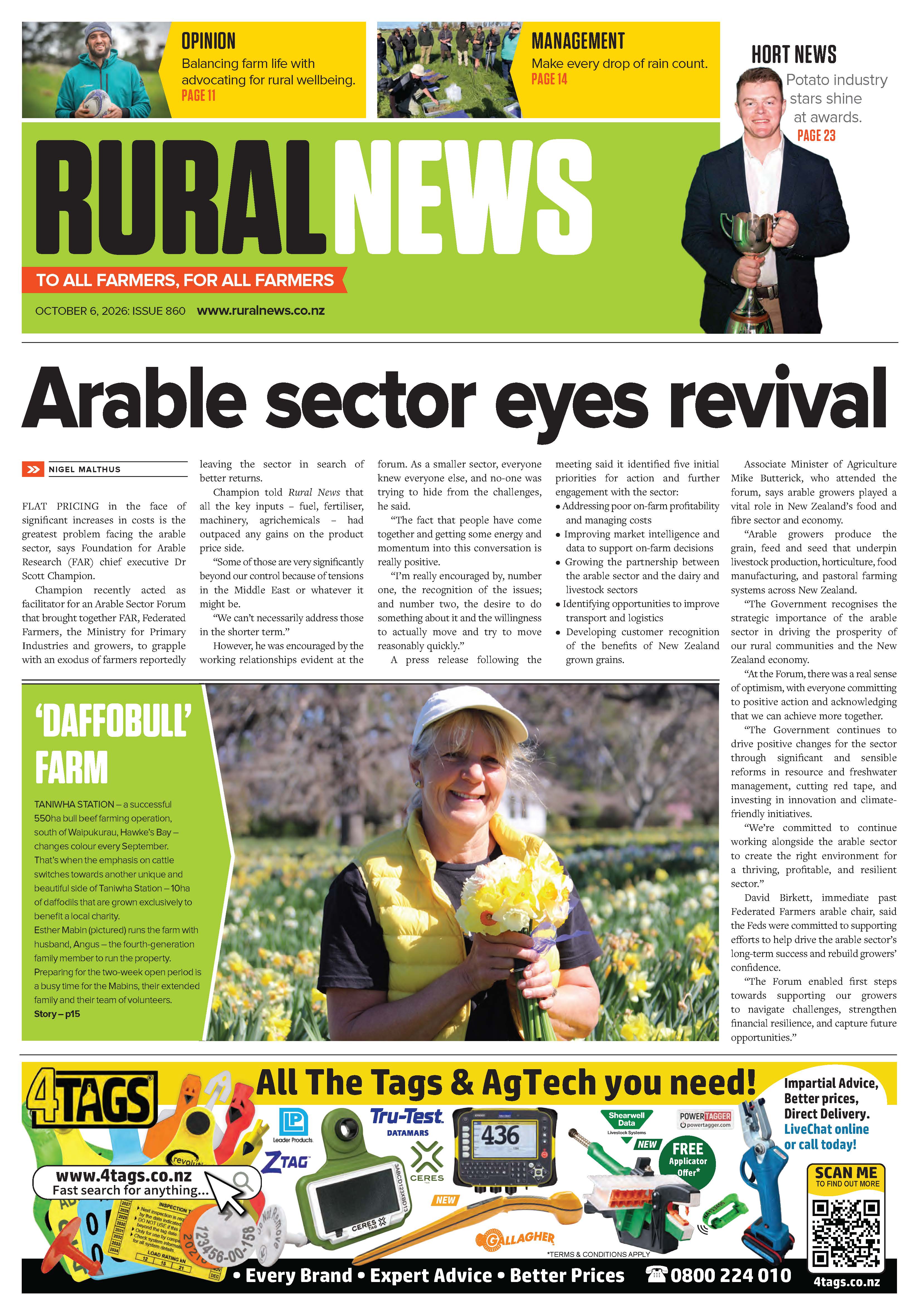
Super El Niño Raises Odds of Dry, Windy Growing Season
With a very strong El Niño increasing the odds of a dry and windy winegrowing season in New Zealand’s eastern regions, the industry should take measures to prepare.




 increase font size
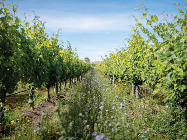 Te Mata
El Niño has officially been with us for several weeks now, and late winter and early September have given us a taste of what is to come.
Periods of strong westerlies followed by cool, fast-moving cold snaps have punctuated the past two months over much of New Zealand. Spring in Aotearoa can bring periods of dramatic transitions from week to week and day to day, and so far there have been large temperature ranges, as expected, and an increased frequency in strong winds. Cold changes brought some frost, but anticyclonic ridging behind these cold changes has been weak and quickly overtaken by fast-developing westerlies. This is a classic signature of El Niño and is likely to continue for the remainder of spring.
The El Niño events of 1982–83 and 1997–98 were similar in the timing of their development, speed and subsequent strength. During both of these events there were droughts along parts of the east coast of the North and South Islands. Both events produced periods of significant wind from the northwest. What was different, however, was where the westerlies originated from, and this led to stark differences in temperature. During 1982, high pressure over the Great Australian Bight helped to generate a west to southwest flow over New Zealand. With this air coming from a much cooler Southern Ocean, parts of the lower South Island, Southland in particular, almost completely missed summer.
The lower North Island also suffered from cool temperatures as a result of the southwest flow.
During 1997–98, a much milder northwesterly airstream was prevalent, with air often from as far away as central Queensland – a much warmer starting point. Most of New Zealand recorded a mild summer, including Wellington! If El Niño 2026–2027 does lean the way of southwesterlies and the Southern Ocean, there may be some relief from cool temperatures, given that sea surface temperatures remain 1–2°C above average in the south Tasman Sea. This should help make the season milder than 1982–83, but it is still likely to be wetter in the far south and west coast of the South Island.
With an increased frequency of drier west to northwest winds, it is expected that the east coast of the North Island will experience temperatures above the usual spring average. Daytime maximums are likely to be most affected and, with an increase in westerlies, the sea breezes that push onto the coastal plain of Gisborne and Hawke’s Bay’s Heretaunga Plain may be reduced at times. There will be some moderate rainfall from time to time, but it is likely that rainfall totals from now until the end of the year will run below average. The sharp southwest changes will provide the biggest risk for frost, and this will be heavily dependent on the timing of fronts and cold air moving up over the North Island.
Mean temperatures are expected to remain above average for the remainder of spring. Periods of strong west to northwest winds may buffet the Wairarapa region at times, and the chances of days with gale-force winds increase between now and Christmas. Rainfall is likely to remain below average, but there may be a few periods of moderate rainfall as more significant southerly changes break up the westerly pattern. A risk of frost remains but will
rely on timing and any anticyclonic ridging that occurs.
Nelson is well-sheltered from the west and southwest, which should ensure mean temperatures across the Nelson region remain above average. Sunshine totals are likely to run above average and rainfall below average through until December. There will be an increased risk of frost at times as cold southwest changes are still likely to sweep north.
Mean temperatures are likely to run above average, but there have been significant swings between warm temperatures and much colder wintry outbreaks. Westerlies will continue to dominate. Southwest changes are likely to be quite short-lived at times as winds quickly return to the west. There has been some reasonable rainfall over winter, but rainfall totals are likely to run below average through until Christmas.
Mean temperatures may be near average, but there is a risk of below-average temperatures for much of spring. The early signs through September are that the wind flow is tending southwest. If this continues, then a cold conveyor belt of southwesterlies will flick fronts over the far south with snow to the ranges and some frost. Rainfall totals may also run close to or above average due to the persistence and frequency of fronts moving up over the lower South Island through spring.
James Morrison runs Weatherstation Frost Forecasting: weatherstation.net.nz
With a very strong El Niño increasing the odds of a dry and windy winegrowing season in New Zealand’s eastern regions, the industry should take measures to prepare.
Hawke's Bay fruit growers are being reminded of the need to prepare for whatever the El Niño weather system may bring in the coming months.
Westpac NZ is calling on farmers and growers to start preparing now for the possibility of a dry summer, as likely El Niño conditions raise the risk of drought across parts of the country.
OPINION: Have a plan in place now!
A spate of southerly winds bringing cold temperatures has presented challenges for Taranaki dairy farmers.



OPINION: As I approach three months in my role as New Zealand Winegrowers Chief Executive, one message has come through…

OPINION: The United States wine market has changed forever, and companies cannot use same old playbook, said Erin Kirschenmann at…
One of Australia's most decorated winemakers will speak at the Aotearoa New Zealand Chardonnay Symposium in Hawke's Bay this September.
The third Aotearoa New Zealand Chardonnay Symposium will be underway in Hastings, Hawke's Bay, on 17-18 September.
Vintage 2026 yielded excellent fruit for most New Zealand wine regions.