Halter goes global, but NZ farmers remain core to innovation
Virtual fencing company Halter is going global but for founder Craig Piggott, New Zealand farmers will always remain their main partners.


 increase font size
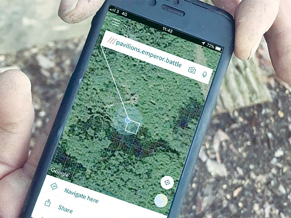 The What 3 Words app directs users to specific locations on a property.
The What 3 Words (W3W) app is being used by an increasing number of rural people.
Modern smartphones allow us to explore a world of applications (apps), many of which we download, use a couple of times, and then forget.
However, one useful app that is being used by an increasing number of rural people is the strangely named What 3 Words (W3W) for directing staff, visitors, contractors or even the emergency services to specific locations on a property.
It was developed by co-founder Chris Sheldrick, who had become increasingly frustrated by the inaccuracy of the UK postcode system -- especially in rural areas. The app has cleverly divided the entire planet into 3m x3m squares, with each given a unique three word reference that will never change.
With a mathematician friend, Sheldrick calculated that the English language offered enough three-word combinations to accurately reference the whole planet; with 40,000 words enough to cover the 57 trillion, 3m x 3m squares required to map the globe.
To use the service, users need to download the Apple or Android mobile phone app or to visit the W3W website. Once the three-word address has been obtained, it can be sent to anyone – whether they have downloaded the app or not – by opening the link and they will be taken to a map location.
To navigate to a W3W square using a smartphone, users just click on the location or type in the three-word address and select a navigation method, such as Google Maps, Apple Maps or a compass. The tool uses smartphones’ inbuilt GPS receivers, so in areas with no phone signal, it’s still capable of finding the user’s location.
However, a signal or some other form of communication (such as a CB radio) will be required to send the location to others.
Notable squares in New Zealand are craftily.obeys.rips; which is the home of NZ National Fieldays, floats.monks.nurses; finds The Beehive in Wellington and jumpy.vocab.mutual; which will guide you to The Cloud on Auckland’s waterfront.
However, as the developer points out, the apps’ key benefit is to guide users to remote, anonymous locations – rather than well-known landmarks.
The system was launched in 2013 and has millions of users across the world. It has been translated into 36 languages and has even been adopted in Mongolia for its postal service.
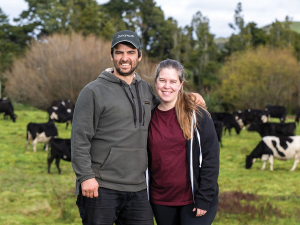
Virtual fencing company Halter is going global but for founder Craig Piggott, New Zealand farmers will always remain their main partners.
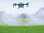
Use of agricultural drones by contractors in New Zealand is soaring.
OPINION: New technologies can promise the world but how do we know if they are delivering?
PGG Wrightson has launched a new stock-counting service using drones and Artificial Intelligence (AI), which it says removes all the hassle for farmers, while achieving 99.9% accuracy.
A new technology company has been formed which will help New Zealand’s farmers and primary sector better understand and capitalise on their natural vegetation and biodiversity.

Signing up to a benchmarking tool is not about competition, but about improving collectively, says Ximena Puig and Alvaro Luzardo who are 50-50 sharemilkers at a 164-hectare (effective) dairy farm in Eketāhuna in the Lower North Island.
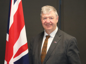
A leading British farming politician says he's impressed with the positive attitude of New Zealand farmers that he met during his recent trip here.
OPINION: With 10,500 dairy farms, New Zealand continues to punch above its weight around the world.
The Southern Dairy Hub (SDH), which runs a demonstration farm for South Island farmers, has a new general manager.
Esther Guy-Meakin has been announced as the new chief executive of the New Zealand Meat Board (NZMB).
According to a progress report on the Aotearoa Horticulture Action Plan (AHAP), New Zealand's horticulture sector is making real progress on the big issues facing growers.


A fair question has been raised about how member-funded organisations should conduct themselves when taking a public position on any…
OPINION: It really is getting harder to lampoon government bureaucrats when they do such a good job of it themselves.…
![]()